Jump to navigation
NR Colorado Department of Natural Resources
Pages
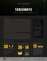
- Forest health study, ten takeaways to inform the Colorado water plan
- Fossil Ridge data analysis unit E-43, elk management plan, game management units 55 and 551
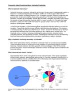
- Frequently asked questions about hydraulic fracturing
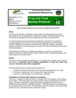
- Frog and toad survey protocol

- From the field to the table

- From the field to the table
- From the field to the table
- From the field to the table
- Front Range geologic hazards field trip : Wednesday, October 11, 2000 Earth Science Week
- Frying Pan River elk herd E-16 data analysis unit plan, game management units 44, 45, 47, and 444
- Game animals of Colorado
- Game birds of Colorado
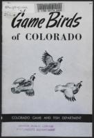
- Game birds of Colorado
- Gas pipelines in Colorado
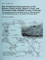
- Gas production characteristics of the Rulison, Grand Valley, Mamm Creek, and Parachute fields, Garfield County, Colorado
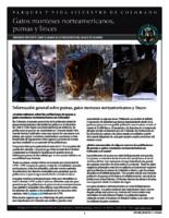
- Gatos monteses norteamericanos, pumas y linces : preguntas frecuentes sobre el manejo de la población felina salvaje de Colorado
- General administration guidelines for reservoirs
- General bid specifications

- General guidelines for substitute water supply plans for sand and gravel pits
- General guidelines for substitute water supply plans for sand and gravel pits
Pages
