Jump to navigation
NR Colorado Department of Natural Resources
Pages

- Critical landslides of Colorado

- Cross sections showing stratigraphic framework of upper Cretaceous Dakota Sandstone, Mancos Shale, Mesaverde Group, and Mesaverde Formation, and lower Tertiary Wasatch Formation, west-central Piceance Basin, Garfield County, Colorado
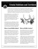
- Crucial habitats and corridors
- Cumulative yearly statistics of the Division of Water Resources. 1996-
- Cutthroat trout management : a position paper : genetic considerations associated with cutthroat trout management
- Cyprinid fish larvae and early juveniles of the Upper Colorado River Basin : morphological descriptions, comparisons, and computer-interactive key
- D-13 Maroon Bells deer data analysis unit plan game management units 43, 47, and 471

- D-20 herd management plan North Fork Gunnison River deer herd game management units 53 and 63
- D-26 herd management plan Saguache deer herd game management units 68, 681, and 682
- D-35 herd management plan lower Rio Grande deer herd game management units 80 and 81
- D-43 Sweetwater Creek deer herd data analysis unit plan : mule deer management plan game management units 25, 26, & 34
- D-51 herd management plan South Grand Mesa deer herd game management units 52, 411, and 521
- D-8 State bridge deer data analysis unit plan, game management units 15, 35, 36, and 45

- D-9 Middle Park deer data analysis unit plan, game management units 18, 181, 27, 28, 37, and 371
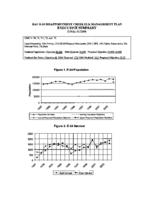
- DAU E-24 Disappointment Creek elk herd management plan
- Dam failure floodplain information for the Yampa River downstream of Stagecoach reservoir
- Dam safety project review guide : Web page version
- Darin and Denise discover Denver's dinosaurs and other denizens of deep time
- Data accumulation on the methane potential of the coal beds of Colorado
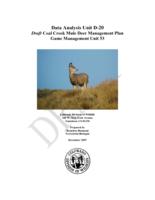
- Data analysis unit D-20 draft Coal Creek mule deer management plan, game management unit 53
Pages
