Jump to navigation
NR Colorado Department of Natural Resources
Pages
- Surficial-geologic and landslide map of Vega Reservoir and vicinity, Mesa County, Colorado
- Surficial-geologic and slope stability study of the Douglas Pass Region. Folio #1. Surficial geology
- Surficial-geologic and slope stability study of the Douglas Pass Region. Folio #2. Geologic hazards
- Surficial-geologic and slope stability study of the Douglas Pass Region. Folio #3. Geomorphic features
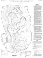
- Surficial-geologic map of the Muddy Creek landslide complex, Gunnison County, Colorado, April 15, 1986

- Surveillance, monitoring, and natural history investigations of bats related to white-nose syndrome within the Colorado River Valley Field Office, 2017-2019
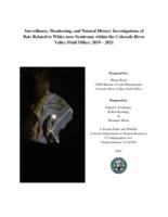
- Surveillance, monitoring, and natural history investigations of bats related to white-nose syndrome within the Colorado River Valley Field Office, 2019-2021
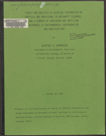
- Survey and analysis of existing information on reptiles and amphibians in northwest Colorado, and a summary of amphibian and reptilian responses to environmental contamination and modification
- Sweitzer Lake
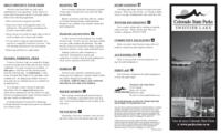
- Sylvan Lake
- Symposium on the geology of the Front Range : in honor of William A. Braddock
- Synchronous oligocene and miocene extension and magmatism in the vicinity of caldera complexes in southeastern Nevada
- Synopsis of Colorado water law
- Synopsis of Colorado water law
- Synopsis of Colorado water law
- Synopsis of Colorado water law
- Synopsis of Colorado water law
- Synopsis of major documents and events relating to the Colorado River
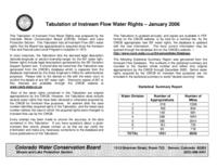
- Tabulation of instream flow water rights, January 2006
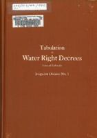
- Tabulation of water right decrees, state of Colorado : Irrigation division no. 1, Water district nos. 1, 2, 3, 4, 5, 6, 7, 8, 9, 23, 46, 47, 48, 64 and 65
Pages
